
|
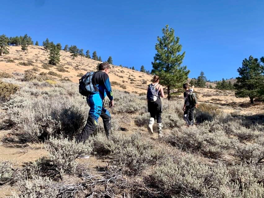
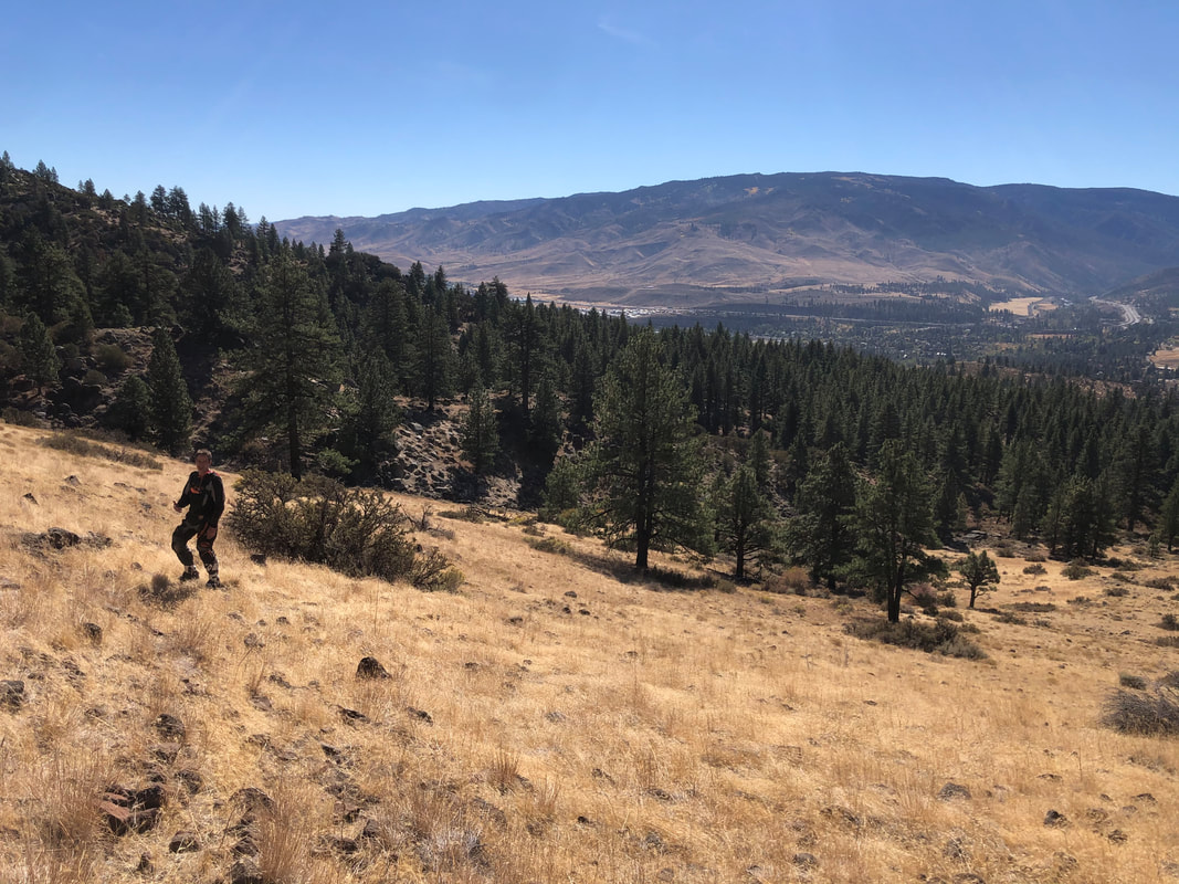
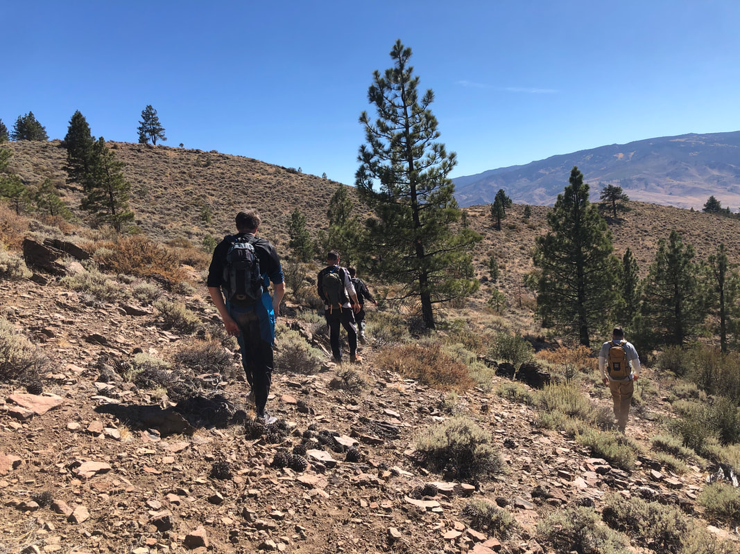
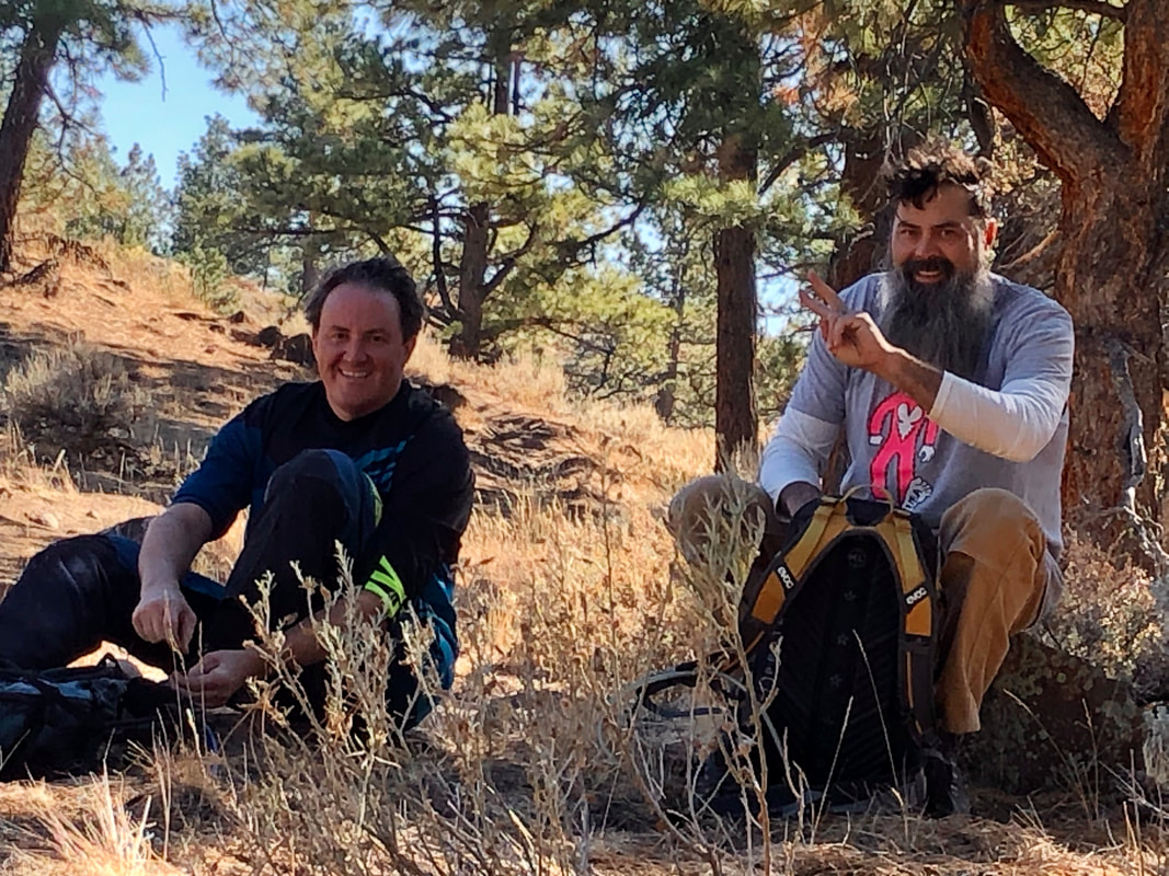
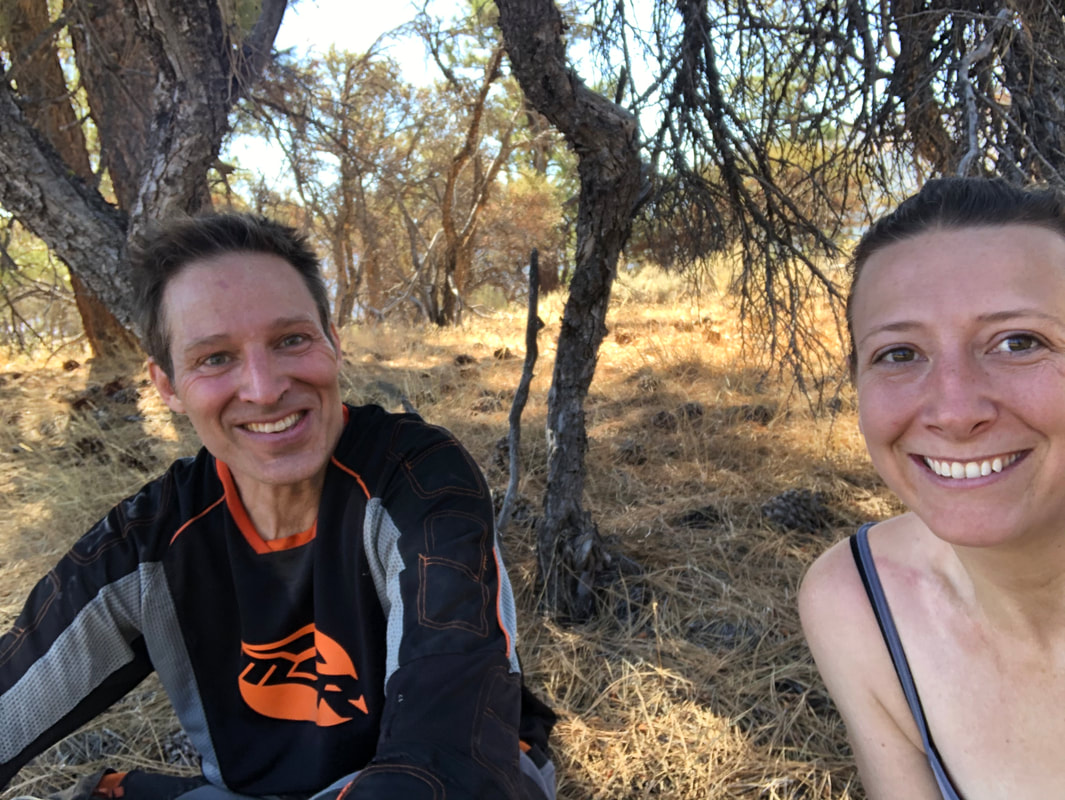
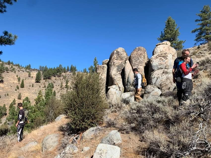
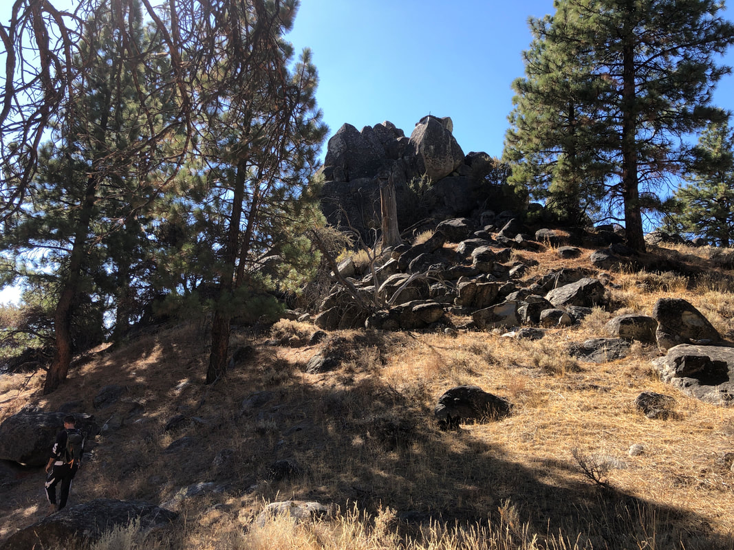
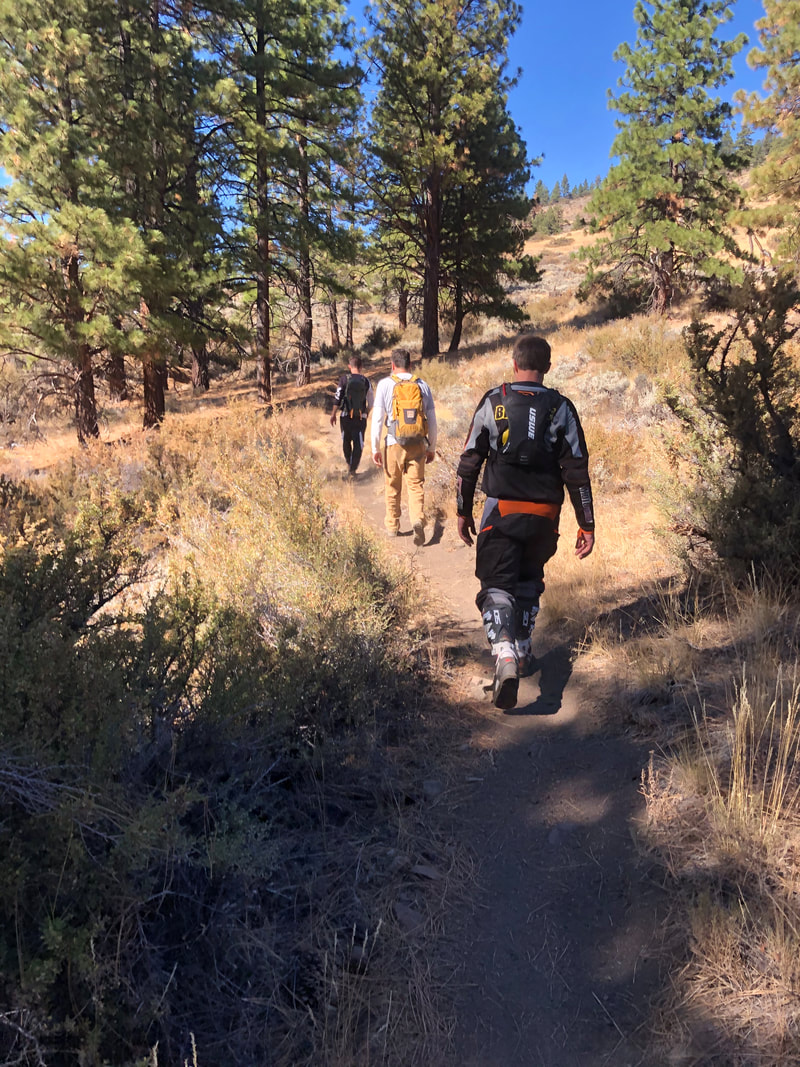
With the smooth radministration of the 2020 Peavine Maze maintenance project, we bumped from novice to amateur class in the grant project world and zealous for a bigger elephant to eat. We figured that if Sierra Buttes Trail Stewardship could organize 300 miles of new single track, we could certainly tack on a few extra miles of our own. How hard can it be? Well... SBTS is also run by full-time pros, not a few people over a kitchen table and a Facebook group chat who are just winging it in spare time between our day jobs. 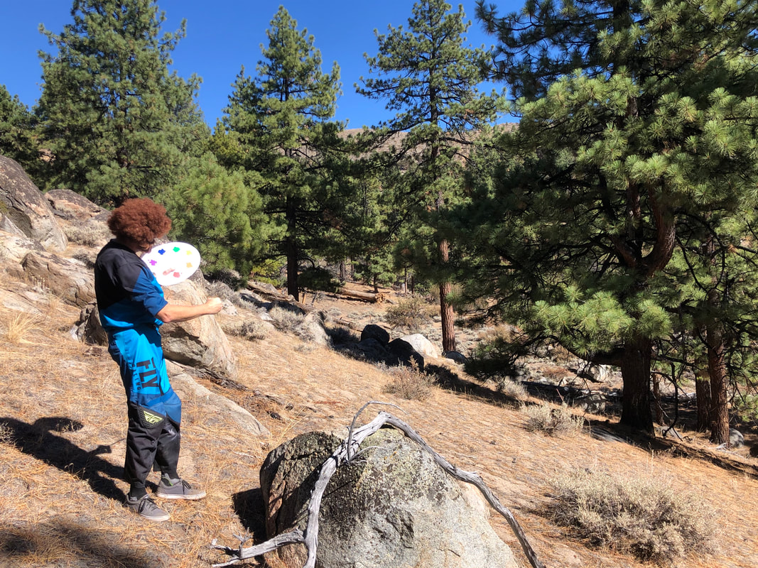 Bob Ross rides for Fly Racing now Luckily, SBTS's Executive Director Greg Williams and Trail Whisperer Kurt Gensheimer are letting us draft off their incredible experience and have generously made themselves available for all of our rookie questions. For more information on their massive Connected Communities project, click here. On a hot October day, Lacey, Donny, Greg, Kurt and Josh went on a "ride" to scout and GPS more segments of new trail. Kurt is one of those annoyingly fit guys -- bullets would just bounce off of him. He skips up these hills like a gazelle while Donny and I try to stay in his alignment for the GPS tracking, panting and whining like the 9-5 desk jockeys we are. We're pretty sure Josh is thinking I'll never go on one of these RAD Rides again. If you want to get in shape, forget the gym - go chase Kurt around fixing trails all day. Walking with Kurt and Greg for a couple of hours and listening to their chatter back and forth about the science, politics and techy details of trail construction was fascinating. Picking up on little nuggets of knowledge about gradients, drainage and other factors that influence sustainability, I find myself reading the terrain differently as I ride trails now. This is the first set of what we hope to be many new trail projects. While the original concept of this project was to connect to SBTS's nearest trails and the close by Tahoe National Forest's new trails, taking a look into where and how to do that presented many opportunities to build the bridges missing right in our own backyard as well. The Maze itself is fairly isolated, and one way or another you always have to ride on some kind of crappy double-track road to get to it. To us there's no better time than now to solve that problem. The project is also intending to formally adopt the awesome trail running from the NV/CA border along the east side of Dog Creek Canyon and ending in Dog Valley (commonly known as the Erzberg Trail to many) as an official system trail designated for motorcycles only. From Erzberg we will make more fresh single track to the west reaching over to SBTS's developing trails. Portions of another existing user trail will be added that feeds into Erzberg as well. The massive cardio workout described above will turn into a brand new trail that gives you spectacular views of Verdi as you weave down the hillside. And we also have a fun little mile-long section connecting the Maze to all these southerly trails in a way that bypasses the parcel of private property and skips Hawk Meadow Trail. Then finally there's the new trail which will solve a major problem with accessing the Maze from Mitchell Canyon. On the Scavenger Hunt ride, we had to send everyone down the awful Mitchell Canyon Road about 3 miles to get into the good stuff.... and then waive down every side-by-side coming past our staging area the rest of the afternoon to warn them to watch out for dirt bikes. We are so over riding that road back and forth to the truck all the time. But this special trail ... I don't care who you are, it will make the heart of your inner white girl skip a beat with delight. When you ride this trail in the fall, fill your camelbak with pumpkin spice latte for maximum enjoyment of the miles of foliage. Get those #nofilter pics of your bike posing in front of the aspens for the 'gram. Live, Laugh, Braaap.  We are reluctant to publicize exact details and routes of the new trails at this time for many reasons, but mainly because none of the alignments are final and are subject to adjustment based on surveys (discussed below) and further improvements. We also want to maintain the virginity of the landscape so that when it comes time to build it will be unspoiled and that much better because of it. Routes will be revealed in time when they are approved and finalized. The benefit of doing things by the book is that it will establish the legitimacy of the trails and ensure defined two-wheel-only access recognized by the Forest Service. As we have discussed before, it is extremely easy for a land manager to decommission an unofficial trail - a designated system trail, not so much. So now that we've got you all hot and bothered about something new to ride, all there is to do now for now is sit tight and wait while we work this process the right way. Keep following this blog for all the updates as we hit all of the planning and development milestones.  Pulling this grant application together has been challenging and time consuming. As you probably expect, there's a few extra hoops to jump through and many more moving parts and variables. The process of expanding the Maze is a maze in itself, where every new piece of discovered information leads to a myriad of other questions and directions you need to figure out. The first step in this project will be completing the various surveys required by the USFS specialists in conformance with their protocols for the area. We've made the connections with the Forest Service's archaeologists, botanists and biologists and have independent contractors lined up to perform the cultural survey, wildlife survey, sensitive plant survey and noxious weed survey of the trails we want to build/adopt. While this summary sounds simple to throw together, there was so much back and forth that had to happen to get these specifics straightened out (still not done yet). The lions share of the grant budget request will be for the cost of these surveys. Our understanding of what happens after we turn our surveys into the Forest Service is about as vague as our understanding of how Graham Jarvis does literally anything. We know that the cultural survey in particular needs to be reviewed and approved by both the California and Nevada State Historic Preservation Office ("SHPO"), since our trails are on both sides of the border. We know the Forest Service's specialists will review the plant and wildlife surveys and update their resource database. And we know that all this reviewing/approving is the longest part of the process, and it's possible that we may get told to move a trail alignment 50 feet to the left here, and 25 feet to the right there. We hear your skepticism as you read this -- but the Forest Service is on board with our plan and wants to see this project happen as well.  Sierra Buttes Trail Stewardship will also be involved (and compensated from the grant accordingly) for their assistance and guidance with this process. That comment I made above about routes not being final - we want to leave this maluable to some of their trail whisper's creative expertise as time goes on and new information and ideas flow in over the course of Phase 1 of the project.
The ultimate goal will be to end up with the coveted "Decision Memo" from the Forest Service, which effectively translates to a green light to get your hard hats on and start up the skinny tractors. So what's the timeline on this? We submitted a pre-application to the RTP program back in August and were encouraged by the committee to submit a formal application in response. Our real application to the RTP program for this Phase 1 is due November 13th, and I'm on the gas every day doing the best I can with what little I know about this. In mid-December we will have to give a presentation on why this funding this project is awesome for a lot of people and in line with Forest Service objectives, then hopefully find out soon thereafter if we are awarded what we've requested. On January 1, 2021, funding will be live. Our goal would be to complete all the required surveys by June 2021 and quickly pass the ball to the Forest Service... and hopefully have a Decision Memo in time to start construction in summer 2022. Much to my dismay, pretty much all of these time frames and the deliverables are out of my control. Everything in this post is my best, uneducated guess. This is going to be a huge learning experience and will enable us to hopefully become a trail-building powerhouse. We are buckled up for this journey, and have trails to maintain and upgrade in the meantime.
4 Comments
Dwight Snodgrass
10/28/2020 08:10:45 am
You guys are awesome! Thank you for all your efforts. We are so lucky to have people like you who are willing to put forth the time and effort to give us all new and improved places to ride. I have tons of respect for you both. The addition of a happy little single track can truly transform the entire experience of any outdoor adventure. Whether you're a seasoned hiker, an avid mountain biker, or simply someone looking to escape into nature, a well-placed single track trail can make a world of difference. These narrow, winding paths often lead you through the most picturesque and serene corners of nature, offering a chance to reconnect with the great outdoors. Just like the legendary Bob Ross used to say while painting, adding that "happy little single track right there" is like adding a splash of joy to the canvas of your adventure, allowing you to savor the beauty of the world in a more intimate and fulfilling way. 8/5/2024 02:21:19 am
fantastic post, very informative. I ponder why the other experts of this sector don’t notice this. You should proceed your writing. I’m confident, you have a great readers’ base already! 8/19/2024 09:57:17 pm
My brother recommended I would possibly like this blog. He was totally right. This submit actually made my day. You can not imagine just how so much time I had spent for this info! Thanks! Leave a Reply. |

 RSS Feed
Copyright 2019-2022 All rights reserved. All images are used with permission. Site powered by Weebly. Managed by Bluehost